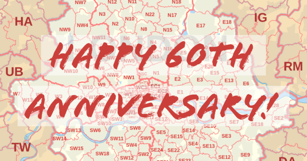
1959 marks the making of many things. It was the year of the first coloured picture of Earth seen from outer space, the launch of the first weather satellite, and the trial of the modern Postcode.
While a lot has changed since 1959, Postcodes have remained a reliable system for the people of the UK. Celebrating its 60th Anniversary today, we’ve looked back on when the routing and delivery of mail wasn’t so simple.
In the early 1800’s people used post towns and county names to direct mail to its recipient, but as the demand for delivering letters and parcels increased, a better system was needed.
By the end of 1934, the UK was split into postal districts based on the points of the compass. Fast forward to 1959, and the reliable, memorable and efficient six-digit code we use today was successfully launched.
As digital innovation soared throughout the 1980’s, a database containing every address and Postcode in the UK was developed into what we know as the Postcode Address File (PAF).
Today, the PAF consists of over 30 million addresses and 1.8 million UK Postcodes, and Data8 helps countless organisations and individuals access it instantaneously in numerous aspects of everyday life – including online shopping, identity verification and locating geographic areas.
Using intelligent predictive and auto-completing technology, our address validation service helps businesses capture quality, deliverable addresses, and customers enjoy a fast, easy checkout process.
Learn more about how our address validation can transform your digital experience, and sign up for a free trial to get started.
